Woodland and hideaways
The design proposes low-impact trails, a lookout and individual hillside retreats. Along the water, the priority is to protect and enrich native riverside woodland.
 Encanto de las ÁnimasLavalleja · Uruguay
The project
A mate overlooking the ravine. A hummingbird among the flowers. Hideaways on the hillside, with time to listen as evening settles in.
This is our vision for Encanto de las Ánimas, a project for ecotourism, rest and regeneration on the Ramallo hillside. We’re taking our first steps and aren’t receiving visitors yet.
View the preliminary site plan ↗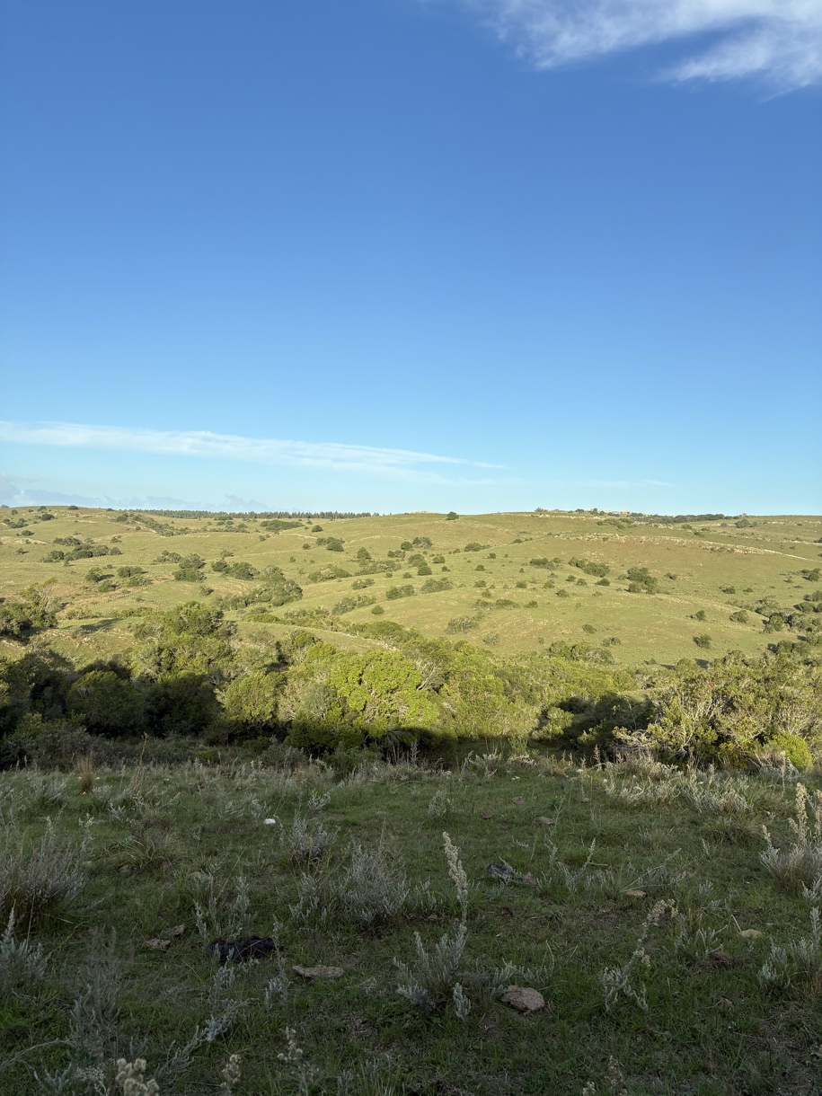
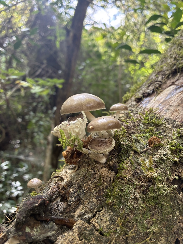
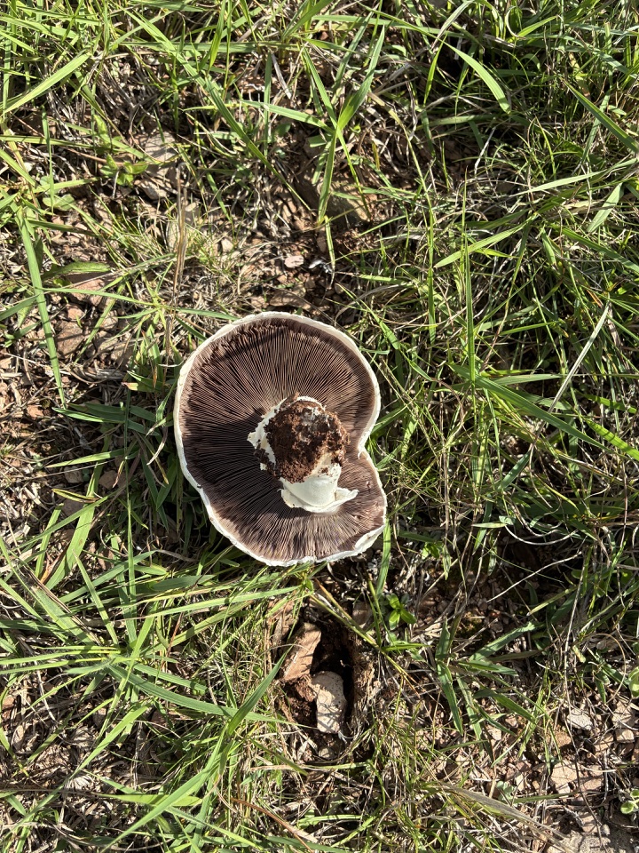
Imagine the scent of the woodland after rain, the taste of honey and flowers lining the path. Look up and the hills unfold all the way to the horizon.
The design proposes low-impact trails, a lookout and individual hillside retreats. Along the water, the priority is to protect and enrich native riverside woodland.
We envision a butterfly garden for pollinators, blooms to attract hummingbirds and a damp, shaded corner for orchids.
The plan includes an apiary for honey and a garden with flowers to feed the bees. As they move from bloom to bloom, they help pollinate the woodland and fruit trees.
We plan to grow yerba mate and mushrooms and introduce native fruit trees. The trails would show visitors how these crops grow and how we care for the soil.
UNESCO Global Geopark
The project is within the Manantiales Serranos Geopark, a landscape of hills, ravines and springs that holds the headwaters of the Santa Lucía River.
Explore the geopark on UNESCO’s website ↗Lavalleja and Maldonado
From Minas, the roads lead to waterfalls, woodlands and hillside villages. Plan your trip with the Lavalleja departmental tourism guide ↗.
A country lane from kilometre 43 of Route 60 leads to this stone house, designed by César Batlle Pacheco and surrounded by hills.
Discover La Peña Blanca ↗At kilometre 42.75 of Route 60, this ecotourism project combines walks and environmental education. On the trail, you can watch birds and get to know the local plants.
Huellas Nativas on Instagram ↗Lavalleja’s capital preserves the memory of the region’s mining past. In the historic centre, visit Plaza Libertad and the birthplace of Juan Antonio Lavalleja.
The Aguas Blancas dam is one of the geopark’s geosites. In Villa Serrana, stone lanes, valley views and starry nights invite you to slow down.
Lavalleja on Uruguay Natural ↗Across in Maldonado, the hills hide the old Nueva Carrara quarry, which supplied marble for Uruguay’s Legislative Palace.
Sentir Las Ánimas route ↗In Edén, the square and chapel invite a leisurely stroll. In Garzón, the old station recalls the railway history of this village surrounded by farmland.
Pueblo Edén ↗ Pueblo Garzón ↗The historic UTE and ANTEL holiday park on Route 12 near Minas offers accommodation and recreation among the hills.
Parque de Minas ↗Trails through grassland and hillside woodland lead to Fuente del Puma and the visitor centre, where you can learn about the reserve’s water and wildlife.
Things to do at Parque Salus ↗The stream drops between rock walls into pools at the foot of the falls. The park offers trails, viewpoints and adventure activities.
Salto del Penitente Park ↗North of Minas, the hill, Colón Cave and the grove of ombú trees showcase what makes this landscape distinctive.
Arequita National Park ↗A quiet valley in the hills, with trails and stone formations.
The valley on Uruguay Natural ↗Outside Minas, the Sanctuary of Our Lady of Verdún is a pilgrimage site with views of the city and the hills.
Verdún Sanctuary ↗Location
Ramallo hillside, Lavalleja. On the scenic road connecting Minas and Pan de Azúcar.
View the area on Google MapsApproximate location along the road.
Estimates from the area around kilometre 44 to each destination. Distances vary depending on the route.